How To Get Around Chicago
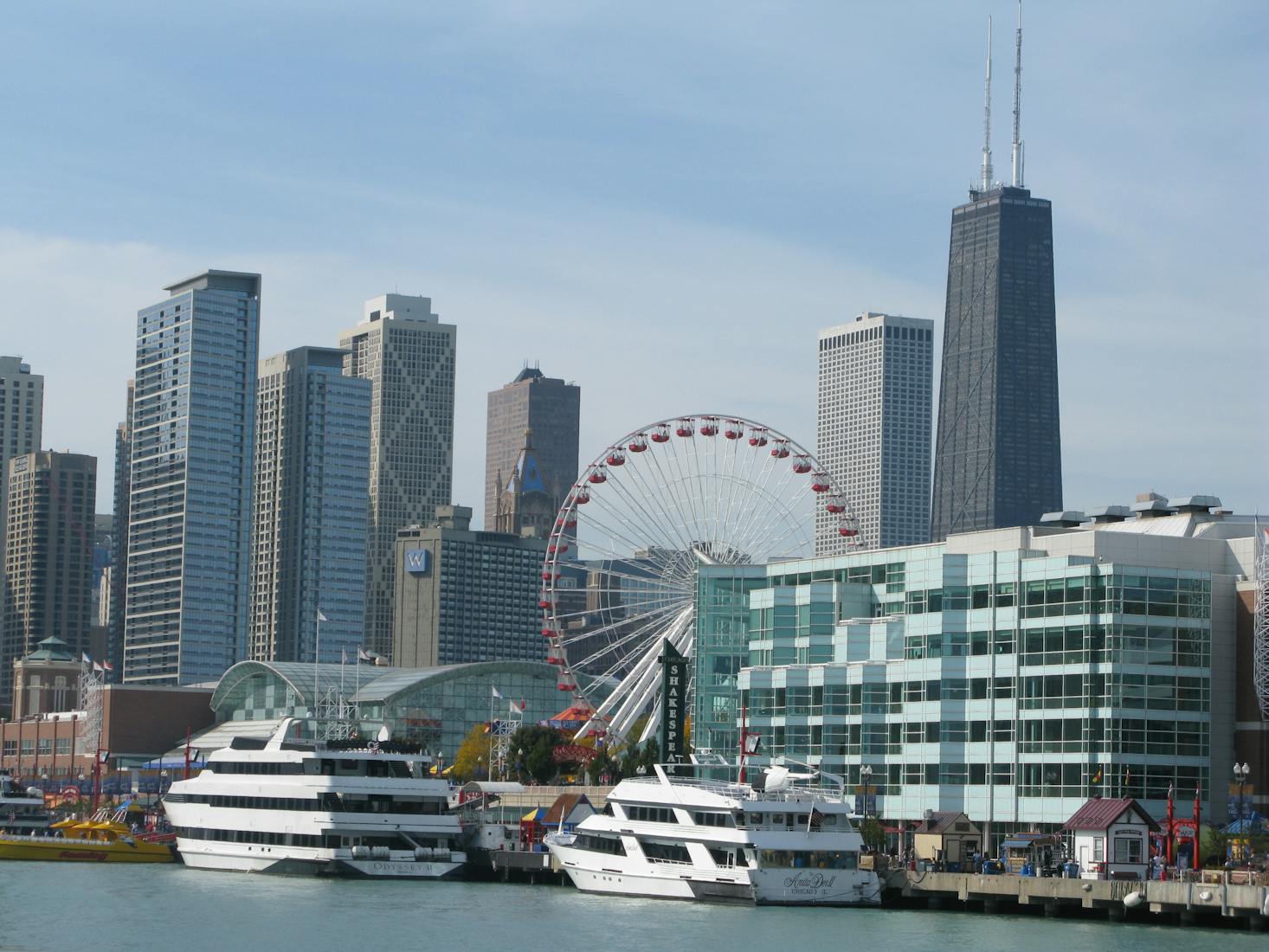
Being the third-largest city in the US, Chicago is big. Sneaky big. Not only in terms of population but geographically, Chicago (and Chicago-land) sprawls in every direction but east, where the city cozies up to the shore of Lake Michigan.
There are 77 official “community areas” of Chicago, but in reality, there are over 200 distinct neighborhoods within city limits. While the Loop (the local term for downtown Chicago) is the center of the city, much of the best cultural offerings are located in the (near and far) neighborhoods. Luckily, Chicago’s public transit is second only to the remarkable New York City system. Chicago is also reasonably walkable, very bikeable, and relatively easy to navigate by car.
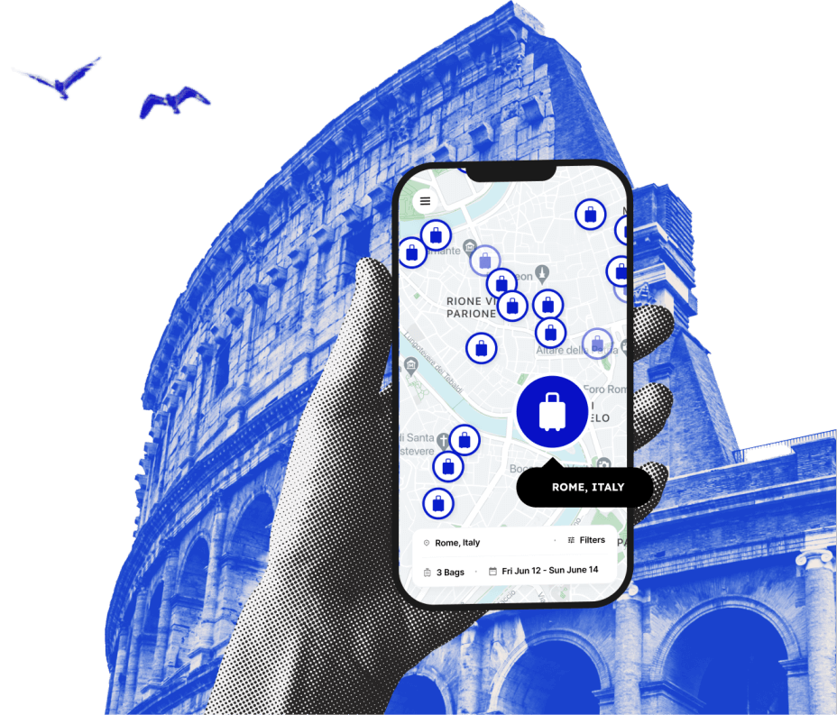
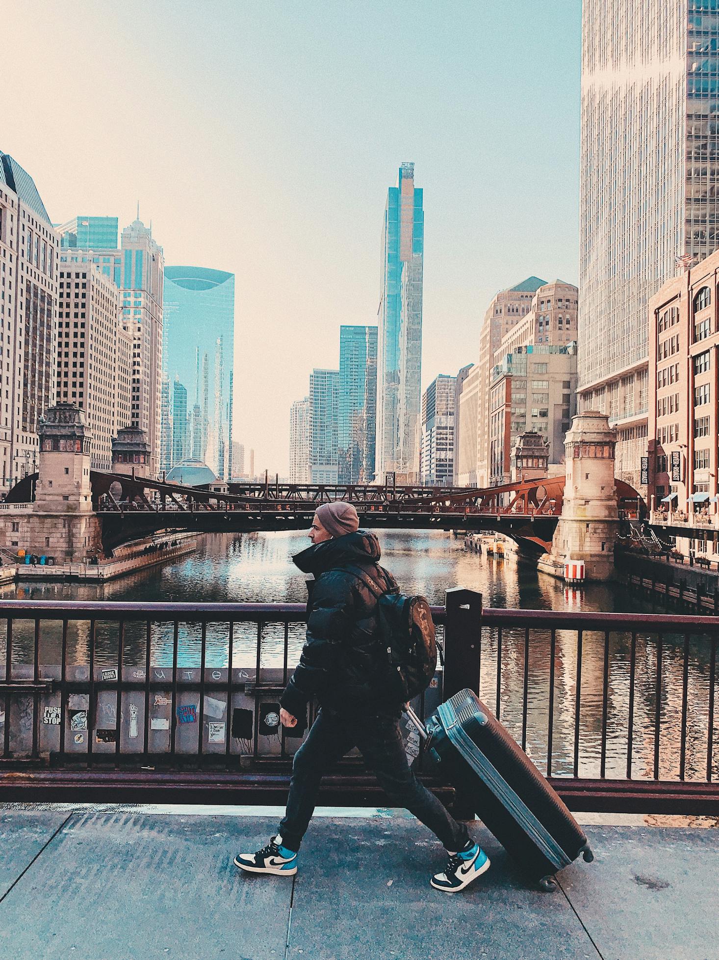
Although taking public transit is a great way to get to know a city’s residents and culture, you don't want to be hauling your bags around town. Head to a Bounce luggage storage in Chicago, and whether you’re taking the train to Wrigley Field or grabbing a rental bike to ride by the lake, you'll truly experience the city.
Love discounts and traveling?
Sign up for our newsletter and get 10% off your next booking.
How to Get Around Chicago By Train
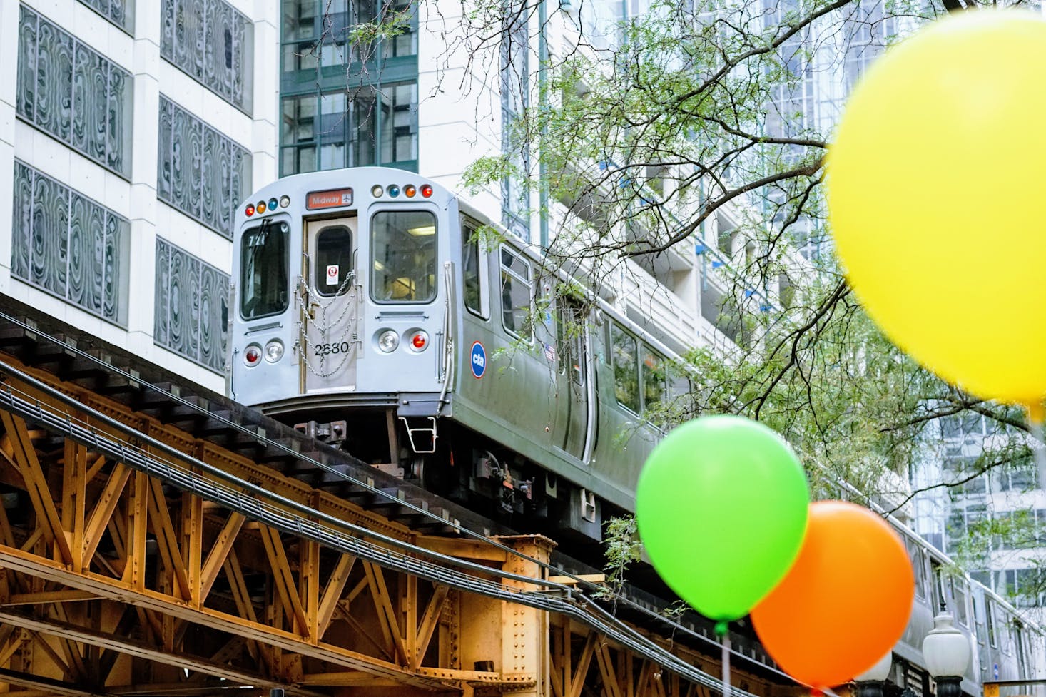
“The Loop” got its name from the ring of elevated train tracks that circle downtown Chicago. Every train line except the Yellow Line runs through the Loop, as commuters from all over the city (and several suburbs) use the CTA for work and leisure. The "L train" is an important part of commuting and daily life.
The Red Line
Easily the most heavily trafficked route in the CTA, the Red Line goes far to the north near suburban Skokie, all the way through the loop, and down to 95th Street near the Dan Ryan expressway. It stops at both ballparks, and plenty of suburban travelers from northern Skokie and Evanston and a few southern suburbs all use the Red Line to get downtown.
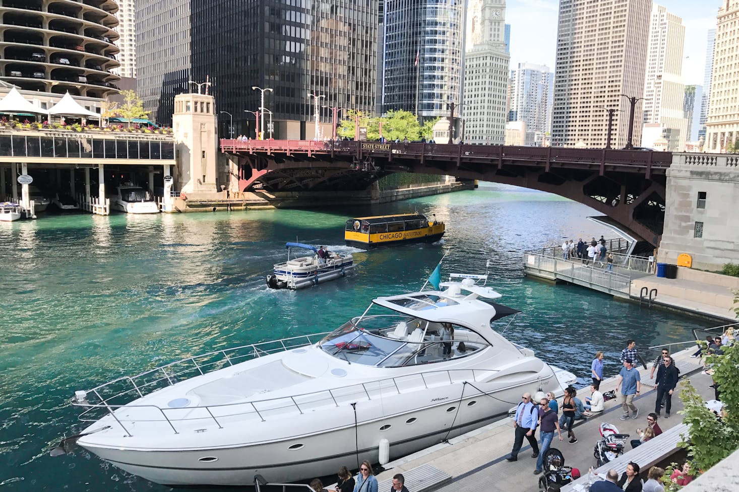
On the north side, Old Town, Lincoln Park (DePaul campus), Lakeview (including a stop at Wrigley Field), Andersonville, Uptown, and Rodgers Park (Loyola Chicago’s campus) are all serviced. On the southside, Chinatown (the most fun way to get there is the water taxi), Bridgeport (White Sox Ballpark), Hyde Park (University of Chicago Campus), Englewood, and Chatham are all serviced.
The Red Line L train runs 24 hours every day of the year. There are special rush-hour services that speed commuters towards the loop on weeknights. The Red Line can get especially busy during the summer, especially when both the Cubs and White Sox are playing.
The Blue Line
The Blue Line is usually the first public transportation visitors take when they arrive in Chicago. O’Hare International Airport is located on the far northwest side of the city and is connected to the Loop before heading all the way out to suburban Oak Park on the west side.
The northwest branch of the Blue Line runs towards the loop through Jefferson Park, Irving Park, Avondale, Logan Square, Wicker Park, and West Town neighborhoods before arriving in the loop. Wicker Park and Logan Square have some of the best things to do at night in Chicago, so it's good to know how to get back to your hotel from here.
The western branch runs along the I290 highway, where you’ll breeze past some of the worst traffic in Illinois. The leafy suburbs of Oak Park and River Forest are the destination, with the train station being located near Madison Street. The UIC Campus, the Medical District, and Little Italy are all serviced by the Blue Line.
The Blue Line runs 24 hours every day of the year because it services O’Hare airport.
The Green Line
The Green Line covers massive swaths of the city. Like the Blue Line, it’s really two distinct lines that are connected via The Loop. The West Side, including the West Loop, Fulton, Garfield Park, and Austin neighborhoods, are serviced before ending in Suburban Oak Park. Highlights of this route are the culinary district Fulton Market and the Garfield Park Conservatory. After traveling through the Loop, the Green Line extends to the south side, passing by Hyde Park (where The University of Chicago is serviced) down to either Ashland/63rd or Cottage Grove. This can be confusing because different Green Line trains can head to either location, so pay attention to which car you get into!
The Brown Line
The Brown Line weaves in and out of The Red Line on its path to the northern neighborhoods. Like every other major train, the Brown Line originates in the Loop and heads north to the Kimball and Albany Park neighborhoods.
Closer to the Loop, the Brown Line services the Old Town and North and Clybourn corridors and parts of Lincoln Park. After running alongside both Purple and Red, the Brown Line juts out west into residential areas like Roscoe Village, Ravenswood, and Lincoln Square. These leafy, quiet neighborhoods are largely residential, with some nightlife. Many of the city’s best craft breweries are located along the Brown Line.
The Pink Line
The near west side has many commuting options, and the Pink Line is becoming one of the more important means for commuting. The Pink Line runs from the Loop to 54th and Cermak, which is a largely residential area with some light manufacturing and industry.
The Pilsen neighborhood has turned into one of Chicago’s best food and culture destinations, and the Pink Line runs directly through it, with stops at 18th Street and Damen. Another stop is California near Douglass Park, which experiences high traffic during the several music festivals held here each summer.
The Orange Line
The primary use for the Orange Line is commuting between the Loop and Midway Airport. While less busy (and much smaller) than O’Hare, Midway Airport is an essential hub for Southwest Airlines and Delta, so a great deal of traffic runs through the Orange Line.
The Orange Line runs through the Bridgeport and McKinley Park neighborhoods en route to Midway, but much of the remaining stretch covers industrial districts.
The Purple Line
The Purple Line is, without a doubt, the most confusing train line in the entire system. It runs along the Red Line north of the Loop, stopping periodically at busier streets like Fullerton and Belmont. At Howard (the end of the Red Line), the Purple Line runs through the suburb of Evanston, where Northwestern University is located and ends in Wilmette at Linden Station.
Many commuters from the North Shore (Wilmette, Winnetka, Glencoe, Glenview) and Evanston use the Purple Line to get downtown. The Purple Line Express is one of the best commuting options for workers living in these areas, as there are very few stops en route to the Loop.
On weekends, the Purple Line only runs from Linden train station to Howard, but you’ll find trains filled with Northwestern football fans heading to Ryan Field or Cubs fans heading to the Red Line to get to Wrigley Field. The Purple Line, however, does not run 24 hours a day, as service shuts off past 2 AM on weekends.
The Yellow Line
More of an extension of the Red Line, the Yellow Line juts out west through Skokie from the northernmost stop at Howard. Several suburbs, including Morton Grove and Glenview, use the Yellow Line to get to the Red Line and from there travel to the rest of Chicago.
The Metra Rail and Amtrak Services
Chicago’s Union and Ogilvie Train Stations are situated in downtown Chicago with service to other cities, as well as local lines that service the suburbs. There are a few stops in the city, but rarely do commuters use these trains to travel between locations in Chicago; the public transportation system is preferred for inner-city travel.
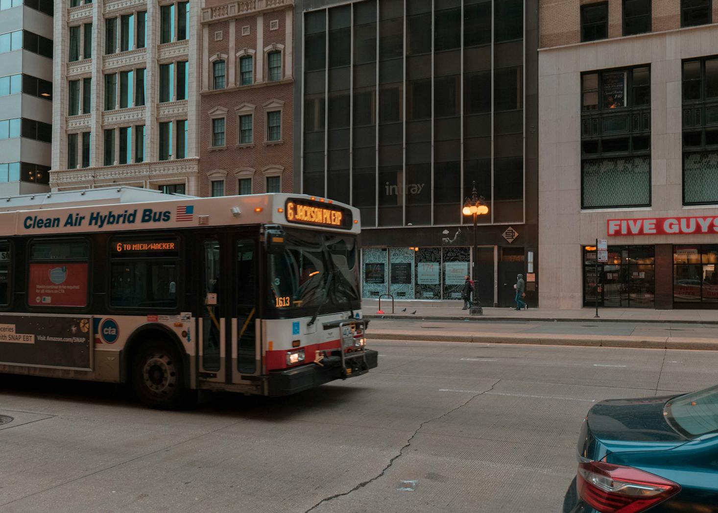
How to Get Around Chicago By Bus
The CTA (Chicago Transit Authority) is the second-largest public transportation system in the country, and the bus system is a huge part of the infrastructure. Many of the busiest streets are serviced by the bus system, and many neighborhoods are linked together via bus routes. Those located near the lake can benefit from the commuter-oriented Clark Street Express. Bus stops in the bustling neighborhoods of Wicker Park and Lincoln Park are connected via the North Ave bus line. The West Loop and Wicker Park are linked via the Ashland bus.
The bus can be limited by service overnight, with only a few routes operating 24 hours a day. However, the convenience and affordability of the buses are crucial for traveling between neighborhoods during an affordable trip to Chicago.
Riders can pay cash ($2.25 for a ride) to use the bus or use the Ventra App for the convenience of managing funds. The Ventra App is immensely useful for anyone looking to use the CTA (including trains and buses) during their stay in Chicago. Not only are there readers at all entrances that can scan your Ventra App, but being able to add funds ahead of time quickly is crucial. With a little planning ahead and the Ventra App, you won’t miss your bus or train trying to shove wrinkled dollar bills into the payment machine or searching for quarters.
How to Get Around Chicago by Car
Many visitors from the Midwest get to Chicago by driving. Milwaukee, St. Louis, Minneapolis, Detroit, and Indianapolis are all within 5 hours of Chicago, and Kansas City, Toronto, Cleveland, and Cincinnati are also within 9 hours. Compared to New York City, Chicago is a very drive-able town, with a grid system that helps navigation and highways that service most parts of the city.
Parking can be a challenge, especially for areas like The Loop or Eastern neighborhoods near the Lake. Fortunately, numerous tools can help ensure you find a spot. ParkWhiz and ParkChicago are popular apps, and SpotHero is extremely common for securing spots in parking garages in prime locations like West Loop, Wicker Park, and River North. The ParkChicago App is useful for registering your car for paid parking with the city, and clicking a few buttons will set up for a few hours of parking on the street and will help avoid any pesky parking tickets.
Taxis, while convenient for catching a ride from the airports (I55 and I90 are highways routed specifically from Midway and O’Hare International), are most useful for those staying in the Loop and River North. In the neighborhoods, rideshare services like Uber and Lyft are very convenient for jumping around to different neighborhoods. These can get expensive, however!
Can I get Around Chicago on Foot?
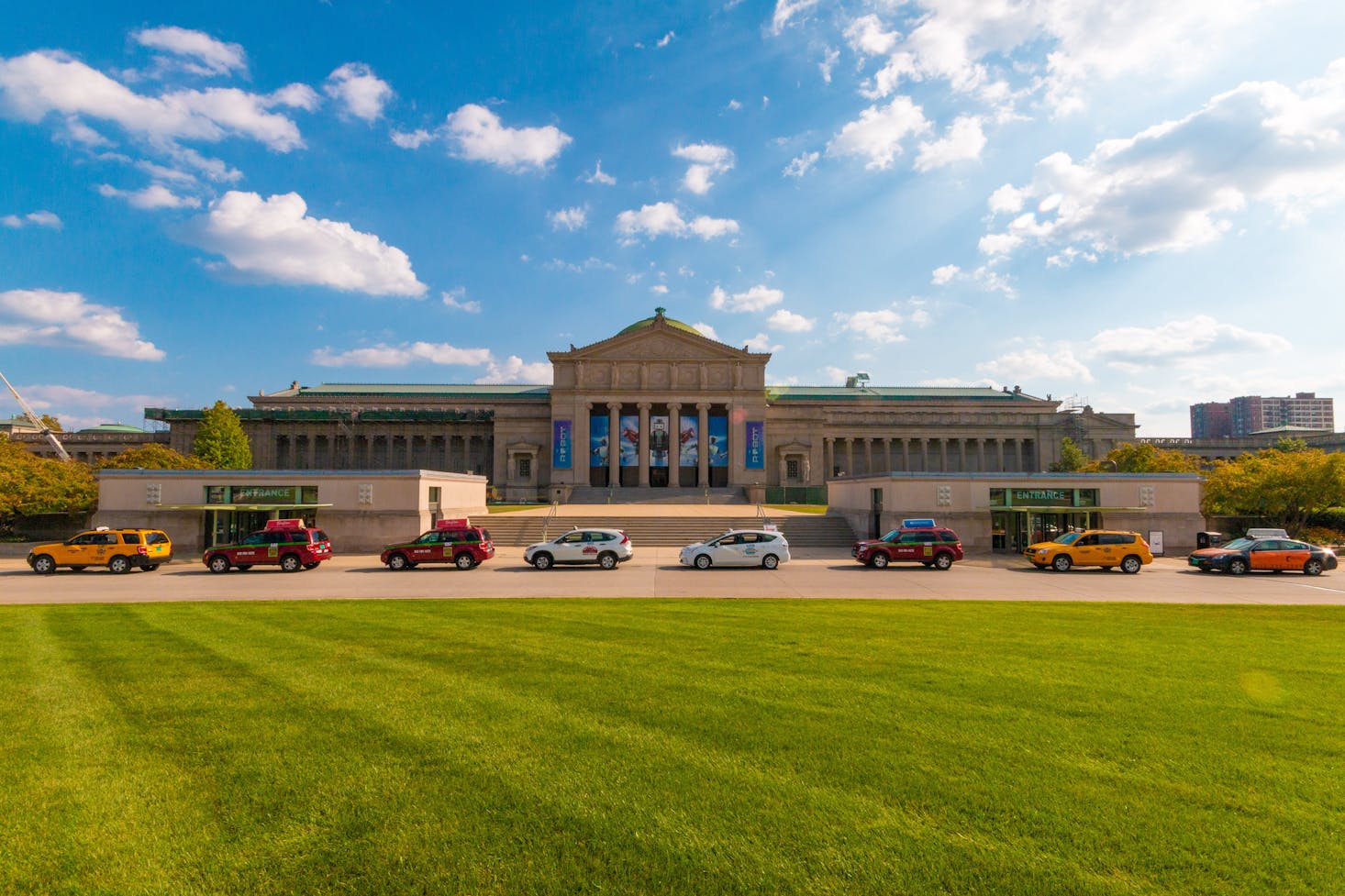
Depending on what you’re trying to do, Chicago is a very walkable city for its size. Downtown Chicago (locally known as The Loop) is where most travelers tend to stay while in Chicago. With iconic areas like Michigan Avenue for some of the best shopping in Chicago, the museum campus, the incredible Millennium Park, events like Lollapalooza in Grant Park, and countless other attractions, the area has a ton of activities within walking distance.
While Chicago is generally a very walkable city, especially in neighborhoods, there are few pedestrianized areas. Basically, every street that isn’t in a park has some traffic. That changes quite a bit during the summer when dozens of neighborhood street festivals are held, and the city blocks the streets off and sets up stands and stages for some of the best events of the season!
In terms of walking between neighborhoods or long distances, travelers are better off taking public transit. Once you’re off the train, walking around the neighborhood is easy!

How to Get Around Chicago by Bike
For a city of its size, Chicago is extremely bikeable. For one, it’s flat. Like, entirely flat. Being situated on the shores of Lake Michigan, there is virtually no topography whatsoever. This might not make for the most scenic views, but it makes biking very easy, especially for longer distances and navigating different neighborhoods. There is also a strong emphasis on safety for cyclists, with bike lanes for busy thoroughfares like Milwaukee Ave, which is fondly nicknamed the “hipster highway” for the thousands of cyclists that commute.
For those traveling without a bike, Chicago is very thoroughly covered with Divvy Bike stations for quick and easy rentals. Most parks and neighborhoods have rental stations, and during the summer, you’ll see hundreds of cyclists peddling away to propel these blue, somewhat clunky Divvy bikes down the street.
There are plenty of bike paths throughout the city. The boulevards in Logan Square are notable for being a safe way to travel through the neighborhood and being a lane away from car traffic. The lakeshore path stretches the entire lakefront and is one of the most delightful ways to travel from the Loop all the way up to Rodgers Park or down past Hyde Park to Rainbow Beach Point. The 606 trail is a converted railroad that zips from Bucktown and Wicker Park to Logan Square. This elevated trail is entirely free from car traffic and a great way to travel through these green neighborhoods.
Conclusion
If you’re looking to jump around different neighborhoods to cram everything you can during your stay in Chicago, drop your luggage with Bounce and catch a train, bus, bike, or boat to your next adventure! Getting around is easy as long as you know what's available.
Love discounts and traveling?
Sign up for our newsletter and get 10% off your next booking.