The 9 Best Hikes In Washington DC
If you start to feel slightly overwhelmed by the formality, politics, history, and architecture of Washington, DC, the best thing to do is plan an escape back to nature. It's the perfect contrast to world-class sights like the Smithsonian and the National Gallery of Art. It'll help put all that you've seen and learned into perspective plus give you the chance to visit some of the most scenic spots in and around the USA's capital city.
When you want to go for the best hike in Washington, DC, you don't need to restrict yourself to the often overcrowded National Mall. There are superb park areas along the Potomac River, in the city's suburbs, and several national parks just a short drive away that, once you're hiking through them, will make you wish you'd hired an RV so you could camp out there for a few days.
One way to make your life difficult and totally break your day is to take your luggage with you when you go hiking, so don't do it. The best thing to do is deposit your belongings at a Bounce luggage storage facility in Washington, DC. It'll be safe in a secure luggage locker until you head back from the trails and are ready to collect it.

Love discounts and traveling?
Sign up for our newsletter and get 10% off your next booking.
The Best Hikes In Washington, DC
It doesn't matter if you're someone who enjoys a gentle stroll on a paved surface or you're a peak bagger who can't resist challenging terrain, you'll find plenty of trails in Washington, DC to suit the level of hiking you like. Read on and you'll discover where the easy hikes in Washington, DC are, which hikes in Washington, DC are great for intermediate hikers, and the trails which are all out challenges. The one thing you won't want to do is leave your hiking gear in your Bounce luggage locker so make sure you don't forget it.
Easy Hikes In Washington, DC
Rock Creek Park
You don't need to head out of Washington, DC to be able to forget you're in the country's capital. Make for Rock Creek Park and lose yourself in the 1,700 plus acres of countryside this public green space consists of.
There are over thirty miles of hiking trails in Rock Creek Park. If you're considering hiking in Rock Creek Park, the rangers advise you to pick up a map from the park's Nature Center and Planetarium, which doubles as a visitor center, before you set out.
The two main hiking trails in the park are the Western Ridge Trail and the Valley Trail which run parallel to each other and are interconnected by adjoining trails. Here you can make your hike as short or as long as you like by creating your own loop system.
The trails are not asphalt but are of packed dirt so can get slippery in damp weather, but are otherwise easy going all of the way.
Theodore Roosevelt Island
The Theodore Roosevelt Island is a woodland oasis on the Potomac River easily accessible from Washington, DC by bicycle or public transport.
There are over eighty acres of forested countryside and swamplands to explore on Theodore Roosevelt Island that were recreated in the 1930s on grounds that had been laid bare. There are three trails on the island plus one of the trailheads accesses to the longer, more trying Mount Vernon Trail.
The three short trails on Theodore Roosevelt Island are named for the type of landscape they pass through and are either boardwalks or have a pea gravel surface.
Trails On Theodore Roosevelt Island
The Swamp Trail – is one and a half miles and is a loop trail winding through cattail marshes and boggy woods.
The Woods Trail – is a third of a mile in length and leads to a memorial with fountains honoring Theodore Roosevelt.
The Upland Trail – is three-quarters of a mile long and an out-and-back trail running the length of the island.
Great Falls Park
If you enjoy walking by the waterside then a great spot to head for is Great Falls Park. The park is around fifteen miles outside of Washington and on the state borders of Maryland and Virginia.
In Great Falls Park there are around fifteen miles of hiking trails in total. You can make the waterfall hike by setting out from the Visitor Center and heading up to the falls viewing point which won't take longer than ten to fifteen minutes. For a longer leg stretch try the River Trail which follows the course of the Potomac River or part of the Potomac Heritage National Scenic Trail which also runs through the park.
There is no public transport access to the park so if you don't have a rental car, you will need to catch a cab from the metro stations at Spring Hill or Greensboro. The metro is one of the best ways to get around Washington, DC, so don't hesitate to make good use of it.

Fort Dupont Park
Fort Dupont Park is a 375-acre public green space within the city limits on Minnesota Avenue SE. Used for military purposes during the Civil War and WWII, the park still contains a Civil War fort and several other historic buildings so it's ideal if you want to combine your hiking activity with some Civil War history.
The River View Trail is a packed earth loop trail classified as easy which winds through marshy ground and past the park's historic gun battery installations. If you want to do some bird watching after your hike, you'll find the Chesapeake and Delaware Canal Wildlife Area next to Fort Dupont Park a good spot to head for before you go for the best brunch in Washington, DC.
Capital Crescent Trail
You don't need to go any further than the Georgetown district to get a decent hike in Washington, DC. In Georgetown, you can join the Capital Crescent Trail which runs for seven miles along an old rail line to Bethesda in Maryland.
The multi-use paved trail has recently been incorporated in the Purple Line Light Rail development and will eventually be a lot longer continuing through from Bethesda to Silver Springs.
It's a busy ten-foot-wide trail through parks and woodlands used by hikers and cyclists that also has a special running zone for joggers in parts. If you have a serious surplus of energy to burn off, the Capital Crescent Trail links up with several other trails including the Rocky Creek Trail which, if you do that one too, will extend your hike to a length of twenty-two miles.
Prince William Forest Park
Prince William Forest Park is around 35 miles outside of central Washington, DC in the outlying metropolitan area of the city and is not metro accessible so you will need a vehicle to get there.
The park covers over 16,000 acres of countryside and incorporates Quantico Creek. There are 37 miles of hiking trails winding through forested terrains that are classified from easy to moderate.
One of the most popular trails in the Prince William Forest Park is the North Valley Trail which runs adjacent to Quantico Creek and leads to a couple of scenic waterfalls. The longest trail in the park, the South Valley Trail, is ten miles in length and the best for wildlife viewing opportunities.
For anyone with mobility difficulties, the Piedmont Forest Trail in Prince William Forest Park is perfect. As well as having a rubberized surface, this short trail with an observation platform at the end has conveniently placed benches where you can rest if you need to.

Best Intermediate Hikes In Washington, DC
Mount Vernon Trail
Hiking the Mount Vernon Trail is undoubtedly one of the best free things to do in Washington, DC. This trail runs from Theodore Roosevelt Island to the George Washington Mount Vernon Estate for a total of 18 miles.
There are trailheads at both ends as well as at various access points along the trail's length where it intersects with trails like the Potomac Heritage Trail. The going is mostly flat so not overly difficult, but you need to remember that however far you go, that's what you need to repeat to get back to your starting point.
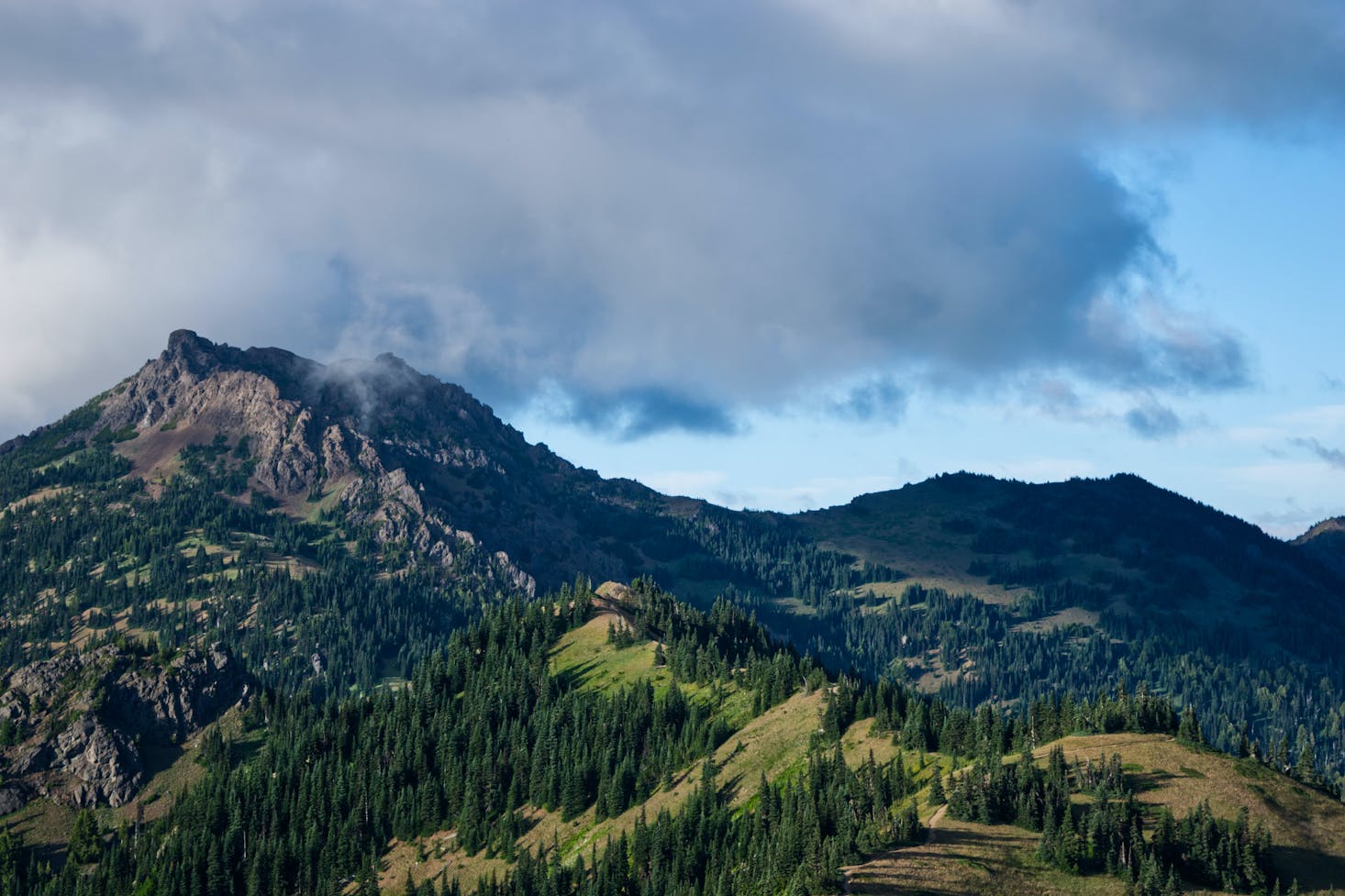
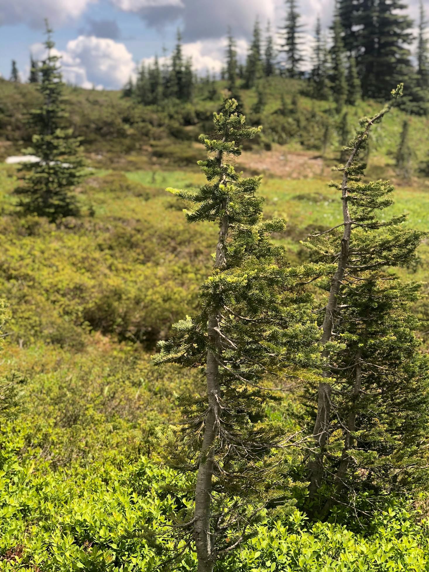
Sugarloaf Mountain Park
Sugarloaf Mountain Park is around an hour's drive north of Washington, DC, but worth the effort to get there to be able to tackle the Sugarloaf Mountain Trail.
It's one of the favorite hikes with many city dwellers so don't expect to have a solitary trek up to the peak of this strangely shaped mountain. The park is only open from sunrise to sunset so staying at the summit to watch the sun go down is not an option, but get there for six o'clock in the morning and you'll catch the sun coming up.
There are four different color-marked hiking trails leading around the sides of Sugarloaf Mountain plus three other trails shorter in length at the summit.
Yellow Trail – is a seven-mile loop trail that circles the lower region of Sugarloaf Mountain that's used by both hikers and horse riders. Doing the full trail takes around three hours.
Blue Trail – you can access this five-mile-long route around Sugarloaf Mountain from the West View parking lot. It connects up with the White Trail.
White Trail – this is a two-and-a-half-mile trek around the summit area. To reach the trail you'll need to complete part of the Blue Trail first.
Purple Trail – this short hike is an alternative way of getting to the summit and can be used instead of the White Trail. You can join the Purple Trail from the Blue Trail too.
Sugarloaf Mountain is renowned for its stunning views and abundant wildlife. While spotting flying squirrels and white-tailed deer is always a pleasurable experience, seeing timber rattlesnakes and copperheads is not so pleasant, so make a bit of noise while walking.
Best Difficult Hikes In Washington, DC
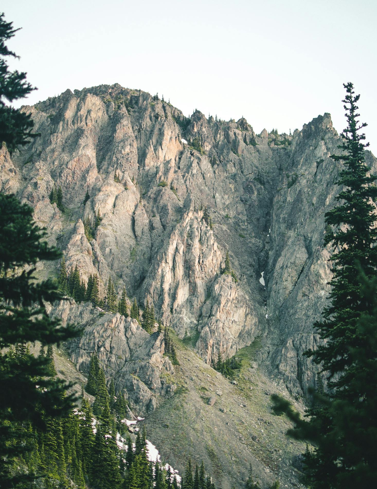
Billy Goat Trail
One of the most popular hikes near Washington, DC, but definitely not one of the easiest, is the Billy Goat Trail. To get to the nearest trailhead you'll need to first get to Potomac in Maryland and then from there to the Great Falls Tavern Visitor Center. If you're driving, you'll find a parking lot at the visitor center where you can leave your vehicle.
The Billy Goat Trail has three separate sections all of which entail clambering over rocky terrain alongside the Potomac River so make sure you have the adequate footwear for rock scrambling.
Section A – is just under two miles long and at present, there's a one-way system in place to help increase safety on the trickier, more narrow parts of this difficult trail. You can return to your starting point on this challenging hike by using the Exit Trail. This section of the Billy Goat Trail is hard going so be sure to take plenty of water and if you're really not fit enough, don't attempt it.
Section B - this one-and-a-half-mile-long trail is currently closed to all hikers. You can check for any updates on the Chesapeake and Ohio Canal National Historic Park website.
Section C – The best way to access this one-and-a-half-mile-long part of the Billy Goat Trail is to park at the Carderock Recreation Area. Although this is classed as an easier part of the trail, you'll still need to be prepared to do some rock scrambling.
No matter how hot it gets when you're hiking in this area, swimming in the Potomac River is not allowed. It's too dangerous and if you manage to survive, the experience could find you with a hefty fine to pay so don't do it.

Conclusion
There really is no shortage of great hikes in or near Washington, DC. If they're not enough and you have the time, you can always plan a trip further afield to somewhere like the Shenandoah National Park or the Catoctin Mountain Park if you don't mind making a 100-mile plus trip and want to do more. It's not really necessary though as there are enough trails to keep every level of hiker happy in Washington, DC. Do them all during your stay and you’ll find yourself needing a new pair of hiking boots before you even head home.
Love discounts and traveling?
Sign up for our newsletter and get 10% off your next booking.