The 8 Best Hikes In Glasgow
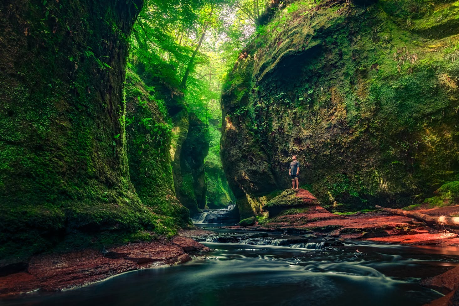
In the southwest of Scotland, you will find Scotland's largest city, Glasgow. The city is known as one of the most fun cities in the United Kingdom. It offers excellent fashion shopping, over 2000 restaurants and bars, and a music scene that is next to none with styles from all around the world. It is also one of the best places to go for a hike.
You will discover wild moorland, endless hills, and one of the most stunning lakes in Loch Lomond, all in the immediate surrounding countryside. And the fact that it is all accessible by public transport just might be the perfect hiking city that no one knows about yet.
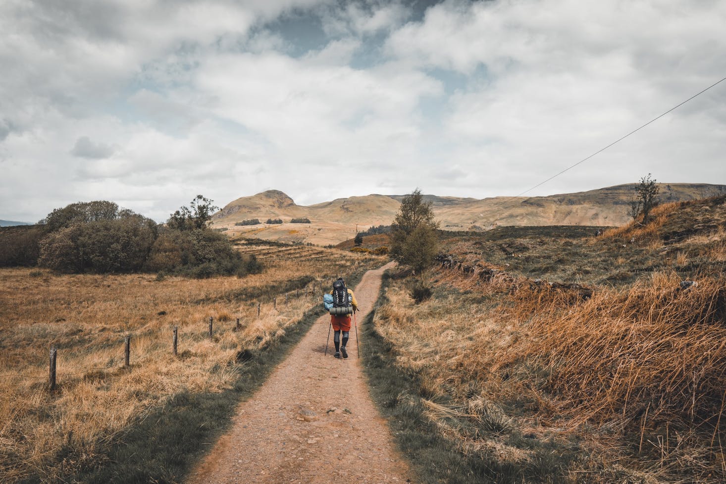
But if you want to do some serious hiking, you don't want to be hauling your luggage or extra gear with you. Best to store these items at a convenient bag storage location in Glasgow so that you can carry your hiking backpack instead.

Love discounts and traveling?
Sign up for our newsletter and get 10% off your next booking.
Our Top Hiking Trail Picks in Glasgow
Now that your luggage is taken care of, where can you go for a good hike? Of course, that will depend on your hiking level and what kind of challenge you are looking for. So we have put together a list of the best hikes you can do on your visit to Glasgow.
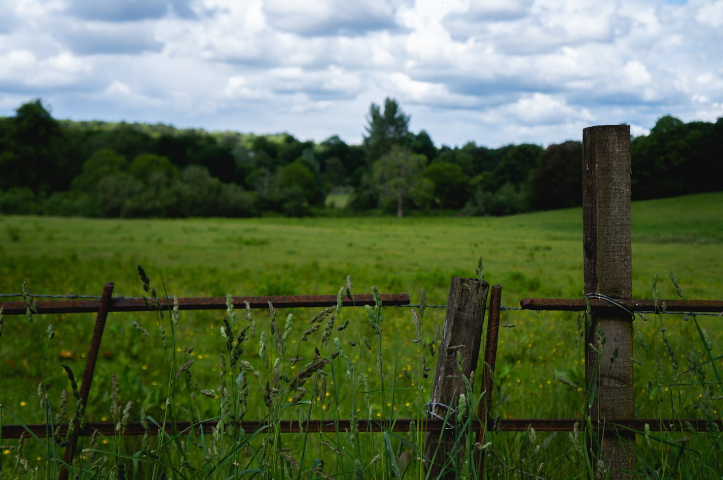
The Whangie
It is a funny name for a beautiful hike. The strange rock formation in the Kilpatrick Hills split down the middle is where the name comes from. The walk starts with a short, relatively steep climb but levels out quickly. Although great views of Loch Lomond and Campsie Hills are immediate, stay straight on the trail to walk through the rock formations themselves.
The relatively easy hike is short at only 2.75 miles and will take 2 hours to complete. And getting there on public transport is easy. Take the A809 until you reach the Queen's View. Whangie Car Park will be on the left, and it will take about 30 minutes.
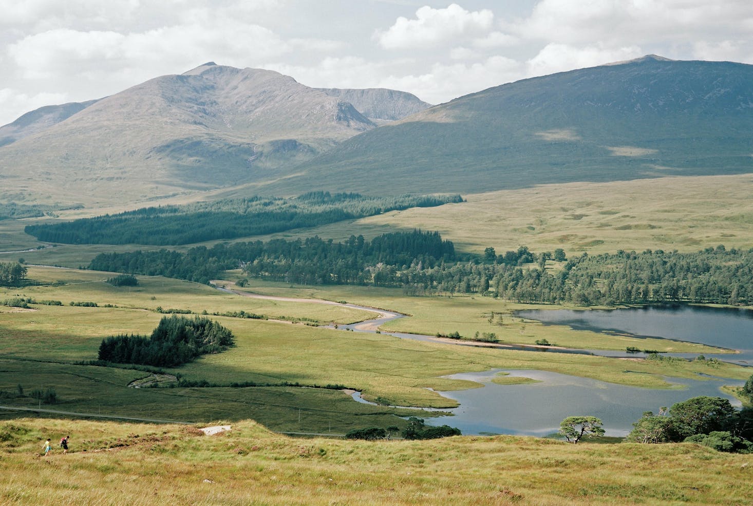
Drymen to Balmaha via Conic Hill
Easy at the start but becomes a moderate hike after the first 3 miles. The start of the trek is not the most interesting but stay with it, and you will get a stunning view of Loch Lomond, with Ben Lomond to the Arrochar Alps as a backdrop. Once you reach Conic Hill, it is a steep descent from the sharp little summit to the Balmaha car park.
At 6.75 miles, the hike takes just over 3 hours. To get there, take the train from Glasgow to the Balloch train station (about 50 minutes) and then 15 minutes on the 309 McGills bus to Drymen. The return to Balloch is about half an hour from Balmaha. If you want a shorter hike for the great view, go straight to Balmaha. It's a busier trail but still worth the view.
Dumgoyne & Earl's Seat
There are two choices here: going up Dumgoyne, a short 2.5-mile but steep hike to the top, or adding the Earl's Seat to make it a longer 6.75-mile hike. Both are moderate-level hikes through the Campsie Hills, and either way, you are going to get some great views of the countryside. In addition, there is a trail around the summit if you only want to do it once.
The start and finish is the Glengoyne distillery, where you can stop for a tour and a sip if you are not driving. For public transport, take the number 10 bus from the Buchanan Bus Station in Glasgow and ask the driver to drop you off at the Glengoyne Distillery, fourteen miles on A875.
Cochno Hill Circuit
This moderate hike takes you past a waterfall, over green hills, along streams, and two reservoirs: the Jaw Reservoir and the Green Reservoir. The path can be quite muddy and rugged at times, so make sure you wear suitable footwear. Watch your step as you pass through, and be mindful of the animals as you will be going across active farmland at points.
At a little over 5 miles long, circling the small hill in the Kilpatricks, which ranges from Dumbarton to Strathblane, will take about 2 - 3 hours, and it's only a 20-minute drive from Glasgow. You should take the Maryhill Road west, turning into Duntocher Road. At Cochno Road, turn right and drive until Auchnacraig car park, where the journey begins.
Ben Lomond - Ptarmigan Circular Route
When you climb Ben Lomond, you are ascending the second most climbed Munro in the UK, but there is a way to avoid the crowds. Instead of taking the well-cared-for trail, take the Ptarmigan Ridge route. It is rockier and muddier and still provides spectacular views.
There are two other reasons to take this path. One is that it is longer and gives you more time in the great outdoors. The second is that it is a true circular route, so you are not backtracking after reaching the summit. This hike is 7.5 miles long, or about 5 hours of hiking. So there is plenty of time to take in the sights, like a lovely waterfall and the deciduous woodlands.
Driving to Ben Lomond is the best option as taking public transport makes it a bit tricky. First, you need to take a bus or train to Tarbet from Glasgow. Then hop on the summer ferry over to Rowardennan and the Ben Lomond car park. Make sure to check the timetables carefully for all the connections.
West Highland Way from Milngavie to Drymen
The entire length of the West Highland Way is 96 miles and would take several days to walk. However, it is easily broken down into sections for those who want something more manageable. Even the first 12-mile section to Drymen can be made shorter. An easy but long walk gives its moderate rating.
Only 7 miles north of Glasgow, getting here won't take more than 40 minutes by bus. But taking a car or the train will get you there even faster. Follow the signs from the train station, and you will find a giant sign where the walk begins. Getting back from Drymen, you will have to take a bus as there are no train stations there.
The start takes you through Mugdock Country Park before you enter the Campsies. You can walk all the way to Drymen or make a stop at one of the quaint pubs or rest stops in the picturesque villages around Loch Lomond.
Beinn Dubh to Glen Striddle Horseshoe, Luss
The walk begins at the Luss car park. However, the village itself is worthy of its own trip and will take you on a 7-mile circular hike around Bein Duhn in Trossachs National Park. As you traverse the Glen Striddle Horseshoe, you will have the chance to see a variety of wildlife such as red deer, mountain hares, and skylarks.
This hike is moderate to hard, depending on the weather. The grassy paths at the top can become very muddy and the rocks slippery after the rain. But the stunning views of Loch Lomond and the Arrochar Alps will make the effort more than worth it. And even though the trail is close to popular Loch Lomond destinations, you will feel a remoteness in the glens.
The bus to Luss takes less than an hour from the Buchannan Bus Station in Glasgow.
Helensburgh to Balloch (John Muir Way)
One of Scotland's great trails, the John Muir Way, travels from coast-to-coast across Scotland and is 134 miles long. Helensburgh to Balloch is the first (or last) section of the trail, a nice and easy 9.5-mile walk along with paved, grassy, and gravel paths that at times wind through forested areas.
As you leave Helensburgh, have a look back at the west coast, and as you summit over the hills down to Balloch, you will see Loch Lomond and its many islands spread out before you. Even though this is about a 4-hour walk, it is great for beginners. To and from both towns will require a car or train (one hour each way), but before you head to the train station in Balloch, stop by the Balloch Pier to take a photo of Balloch Castle.
Easy Hikes in and near Glasgow
If you are not a big hiker or you like to take your kids on walks and hikes, here are some trails that are beginner and family-friendly.
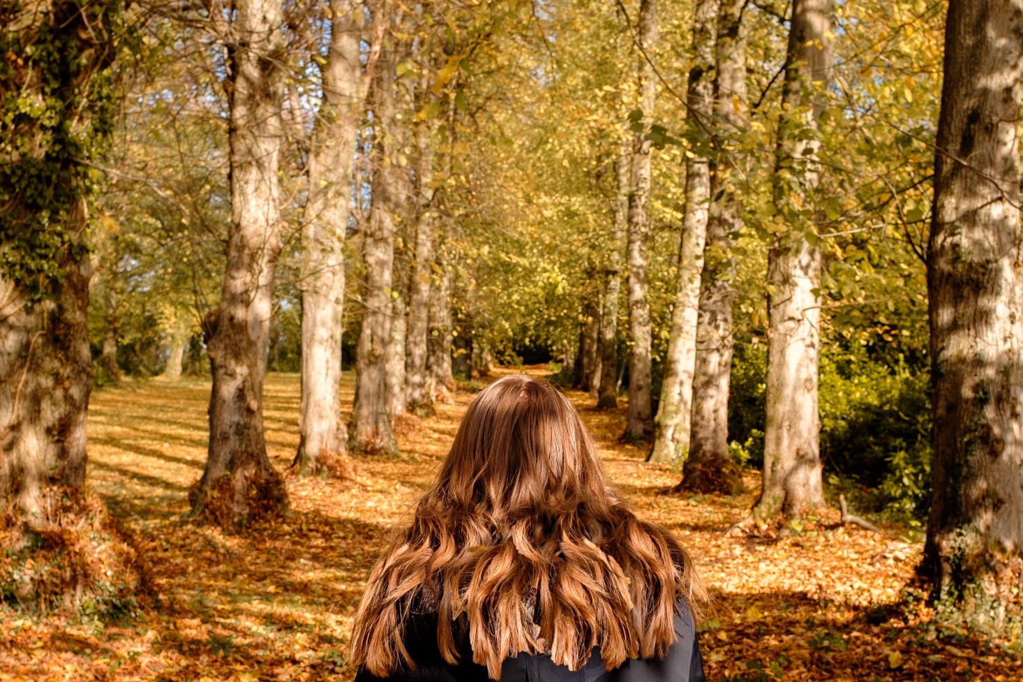
Pollok Country Park
The largest park in Glasgow has nearly 7 miles of paved paths and other unpaved footpaths that make walking through forested and garden areas easy for everyone. But here are three suggested routes to check out: the 1.9-mile Highland Cattle Walk, the 1.4-mile Pond Walk, and 0.7-mile Burrel Walk. All are marked with color-coded markers so they are a breeze to follow.
The train station closest to the park entrance is Pollokshaws West, where the trains from Glasgow Central station to Kilmarnock and East Kilbride go past several times an hour. There are also two car parks near the park.
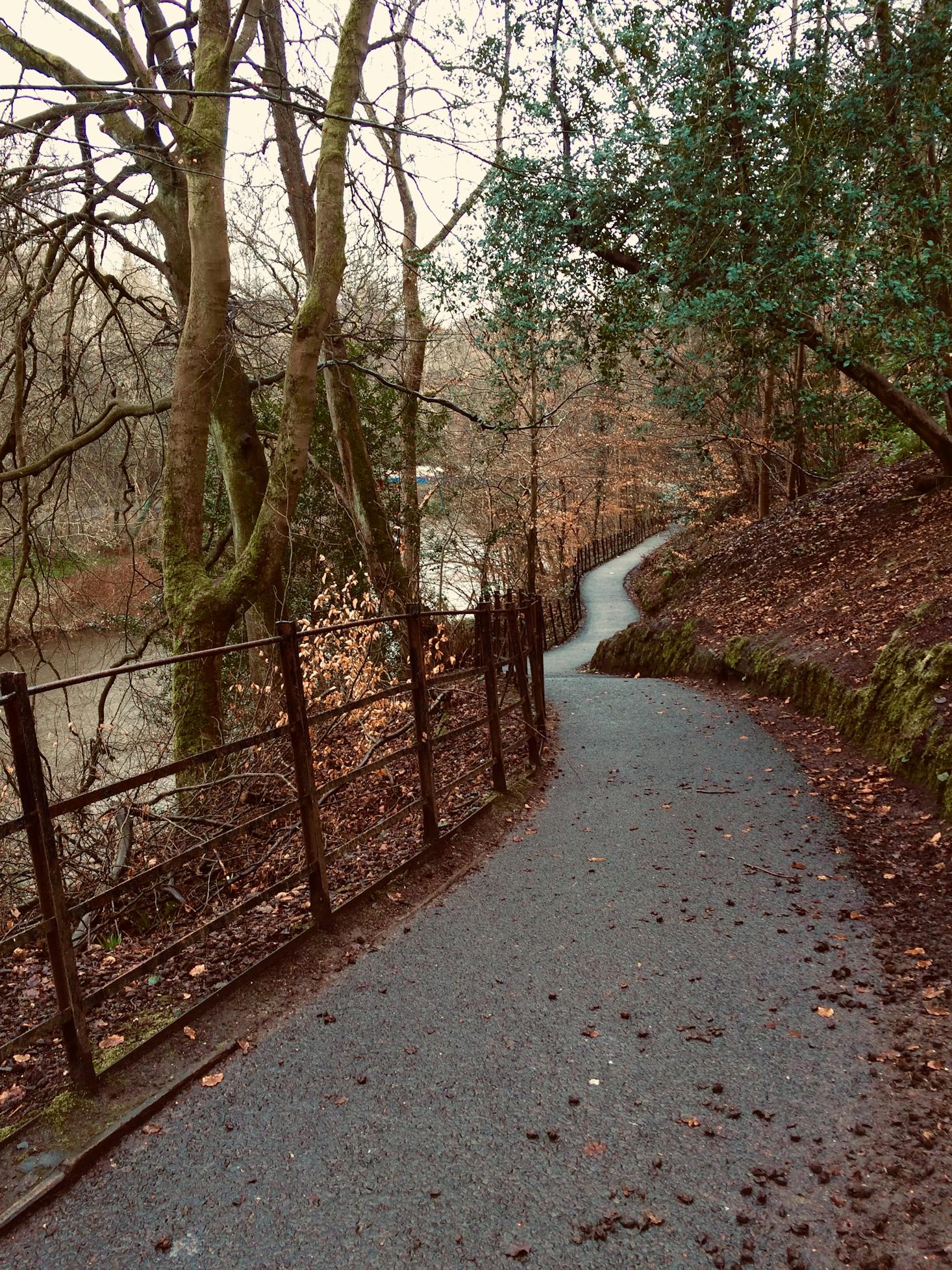
The Clyde Walkway
A nice flat route that follows the River Clyde in Glasgow, you will go from an urban setting to being surrounded by green fields and woodlands. The Walkway follows that 40-mile length of the River Clyde, and you can hop on or off of it anywhere.
Intermediate Hikes in and near Glasgow
For those looking for a step up from easy, you don't have to leave town either. There is a spot right in Glasgow just for you.
Rouken Glen Park
About 6 miles to the south of the city center you will find yourself in the typical Glaswegian park, with boating ponds, walled gardens, and the wilderness of a woodland glen. There are many trails, some that hug the steep slopes carved by the Auldhouse Burn. Make sure you are wearing proper hiking boots, not just for the hikes. The trails are very muddy too.
Grab a train from Glasgow Central to Neilston, which stops near Rouken Glen Park.
Clyde Muirshiel Regional Park
Just under an hour away from Glasgow by train, this park is excellent for the whole family. There are plenty of challenging hikes as well as a few easy ones. Not only are the trails great, but there are a whole host of activities for younger children and families.
Difficult Hikes near Glasgow
To truly get into serious hiking, you need to get outside the city and into the Munros of Scotland (the Mountain of Scotland). These are a few hikes that will definitely test your fitness, but with great effort comes great views!
Beinn Narnain via The Cobbler
You don't even have to reach the summit of Beinn Narnain to get some of the most fantastic views of Loch Lomond and all the Southern Highlands. Add on the challenge of "The Cobbler" (as known as Ben Arthur), which has three summits, and you have an extremely challenging climb on one of Scotland's most iconic mountains.
To get there, take the 926 bus from Buchanan Bus Station. For those driving there is a large car park for a small fee.
Crianlarich - Bridge of Orchy
The trail is part of the West Highland Way after Loch Lomond and the Trossachs National Park, so, for the most part, it is waymarked with thistle markers. It is tough right off the start, with steep gradients throughout the hike. Make sure you are prepared for heights of about 1,000 feet and Scotland's weather.
This hike pushes the "near Glasgow" aspect as it takes 2 hours to get there just one way.
Steep Paths and Easy Treks
Scotland is beautiful and wild landscapes are worth being explored at any time of the year. If you love hiking, be sure to visit Scotland, find your favorite walking routes, and make the most of the Scottish Highlands. We've named our top 8 hikes and additional great treks. Enjoy the scenery and fresh air!
Love discounts and traveling?
Sign up for our newsletter and get 10% off your next booking.